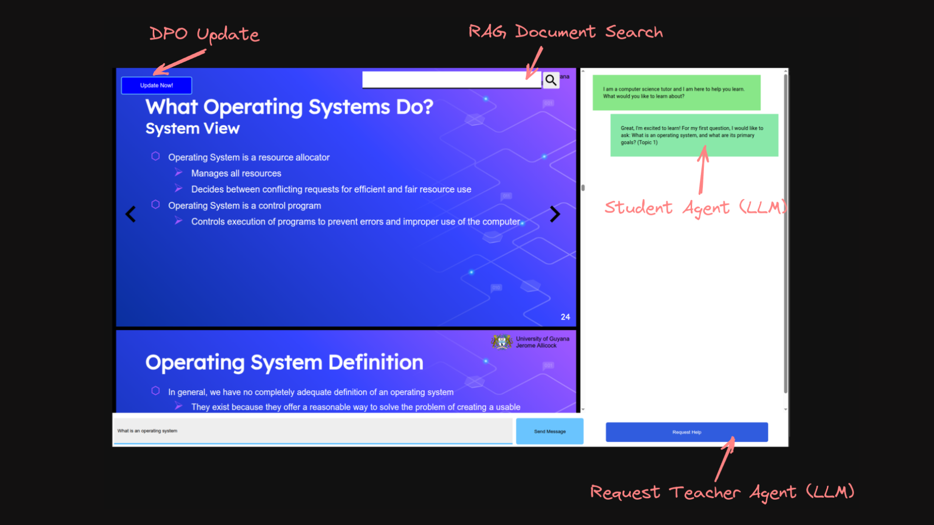
A Local ITS, designed to work offline with hugging face models, created as a requirement for conducting inference benchmarks for a final year research project titled 'Local and Personalized Large Language Models in Intelligent Tutoring Systems' conducted at the University of Guyana towards the Bachelor's in Computer Science
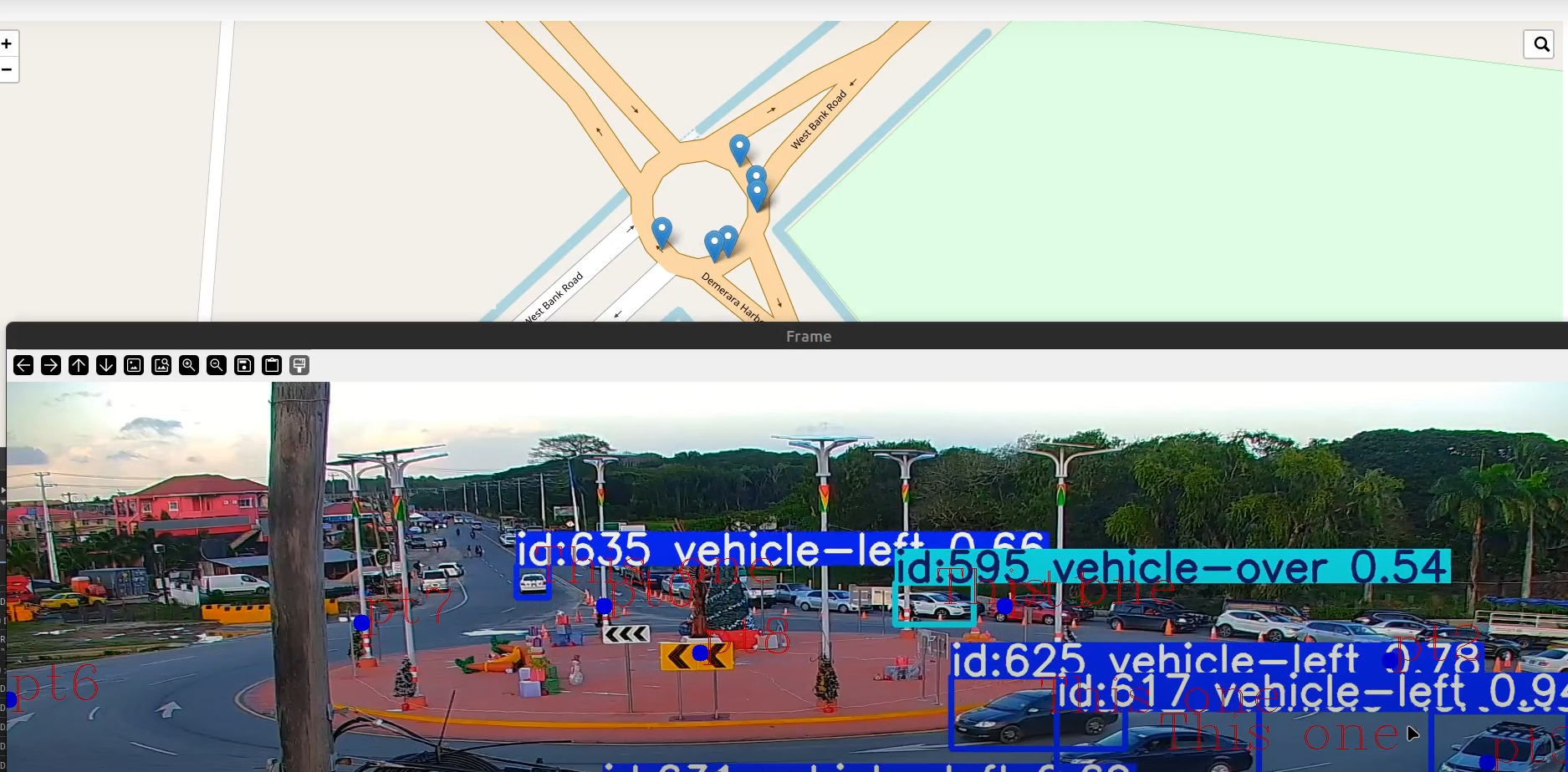

A side project designed to utilise computer vision and mapping technologies to translate real world coordinates from CCTV camera footage to their equivalent lat/long coordinates on a map. The projects use a finetuned YOLO model for its vision capabalities and leaflet js for the mapping tiles. Web Sockets were utilised to communicate between the various components in real time via UDP packages.
A personal assistant that brings together several machine learning techniques into a single interactive system. It uses a large language model to drive natural conversation flow, a CNN for real time emotion detection, and face detection for user identification (using either a haar classifier or a Facenet based approach). Together these allow the assistant to recognise who it's speaking with, gauge their emotional state, and hold a contextual conversation.


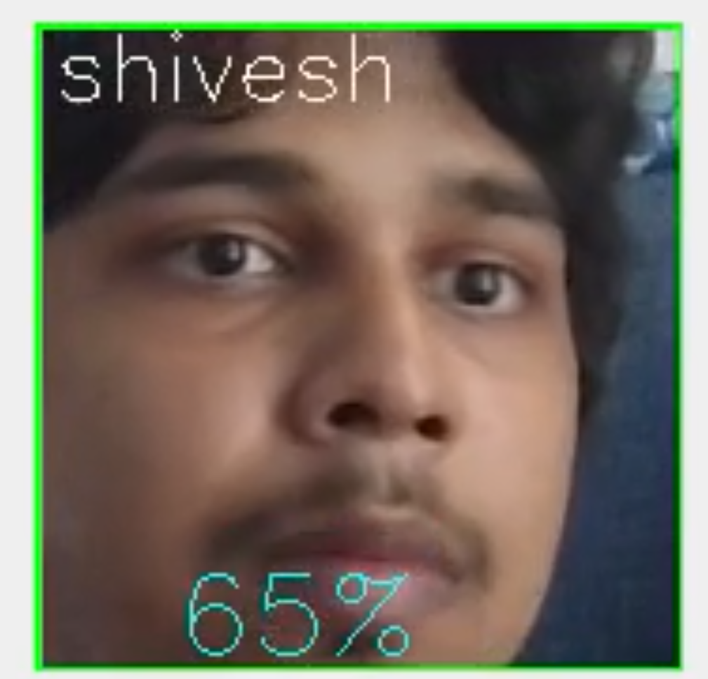
A simple python based application made to experiment and try out different face recognition techniques and algorithms. At current, it utilises two distinct face classification algorithms. One being the default haar classifier from open-cv and the other being a Facenet classifier implemented in pytorch.

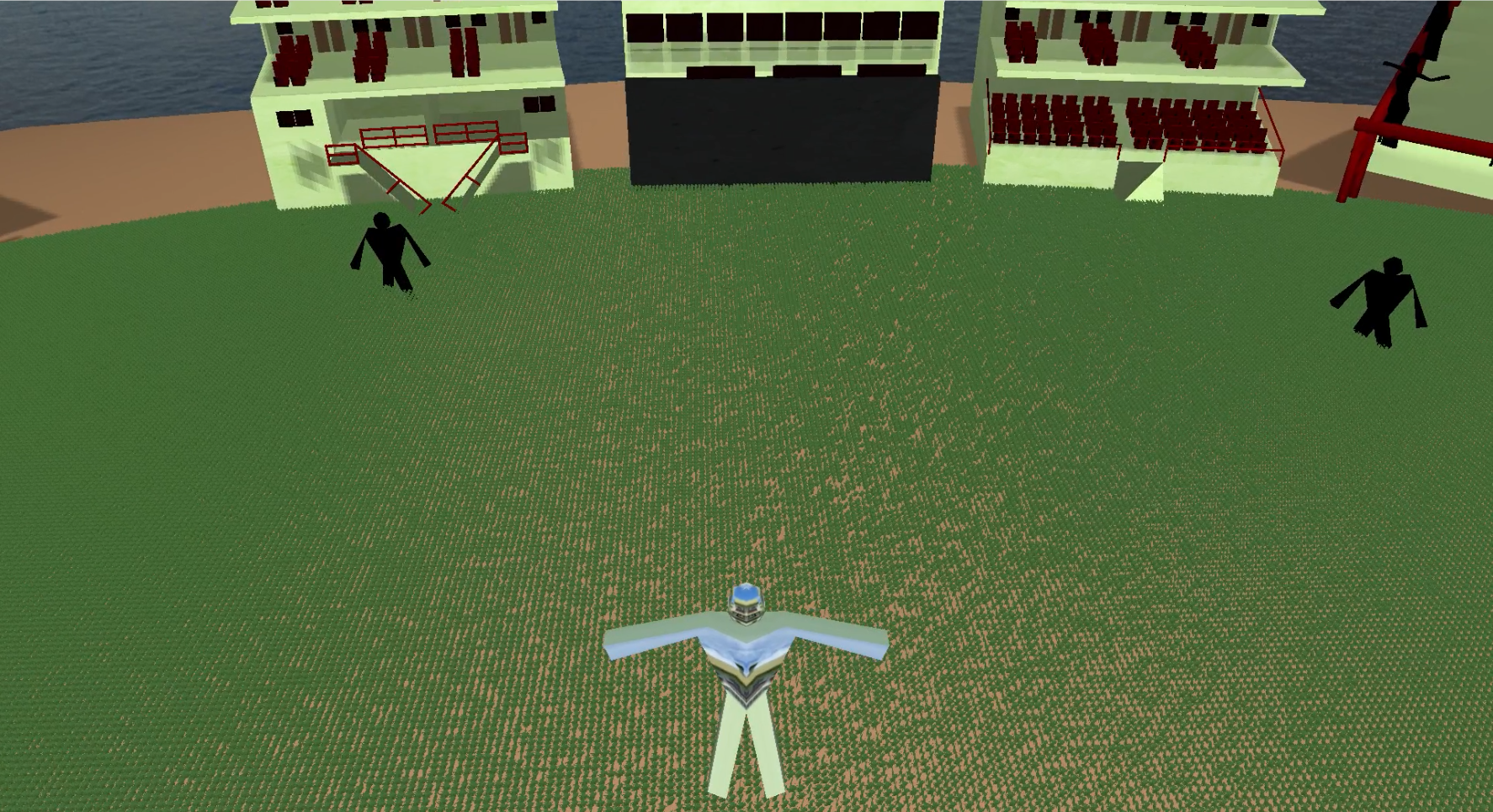
A model of the National Providence Stadium of Guyana. The project is implemented using OpenGL, a low level graphics cross platform API implemented in c++. It introduces various concepts about graphics programming such as bling-phong lighting, batch rending, vertex construction from file formats, animations and more! The thing I most enjoyed about this project were the specifics that went into rendering the grass and how impactful drawing thousands of planes is on performance.


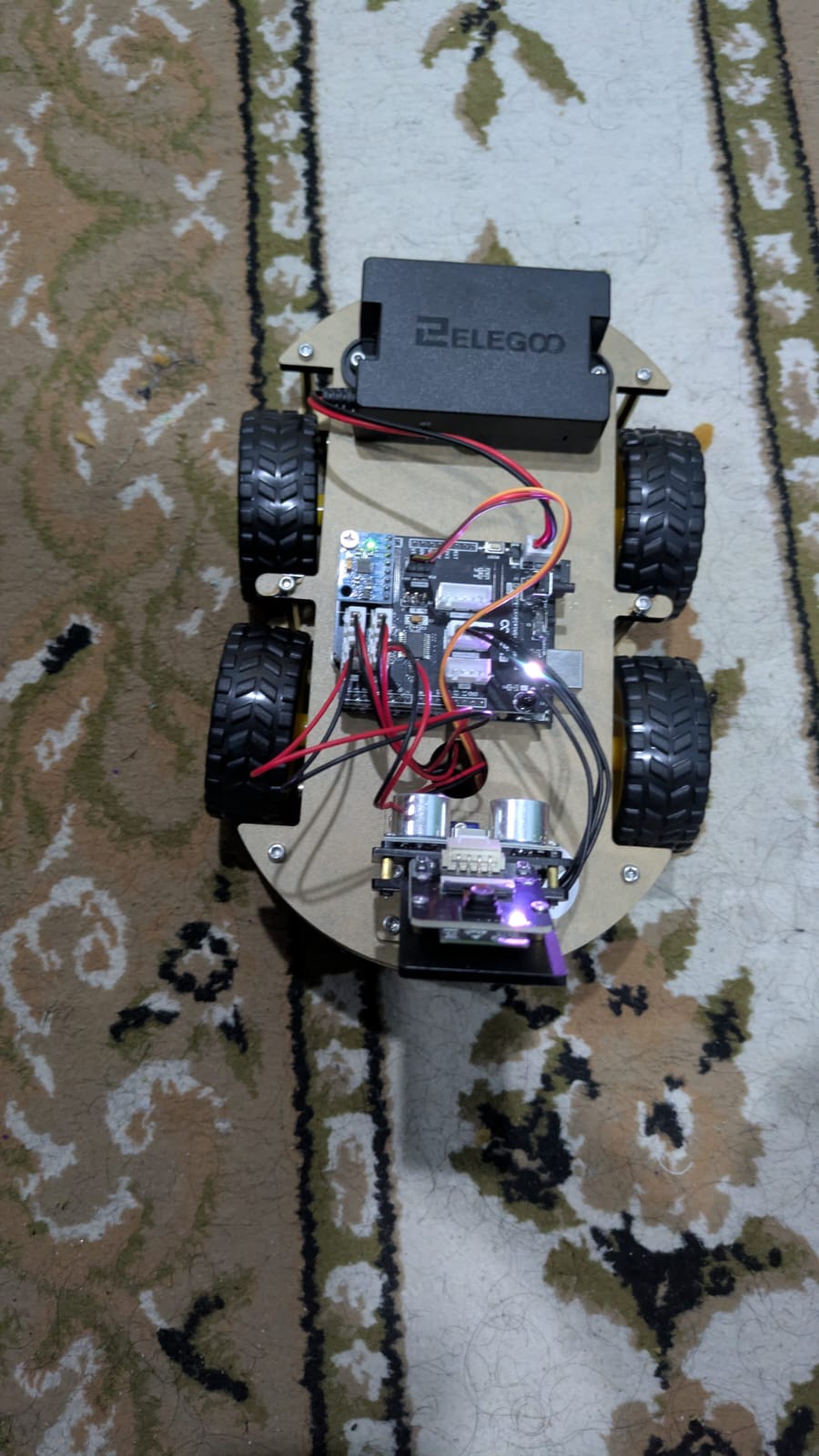
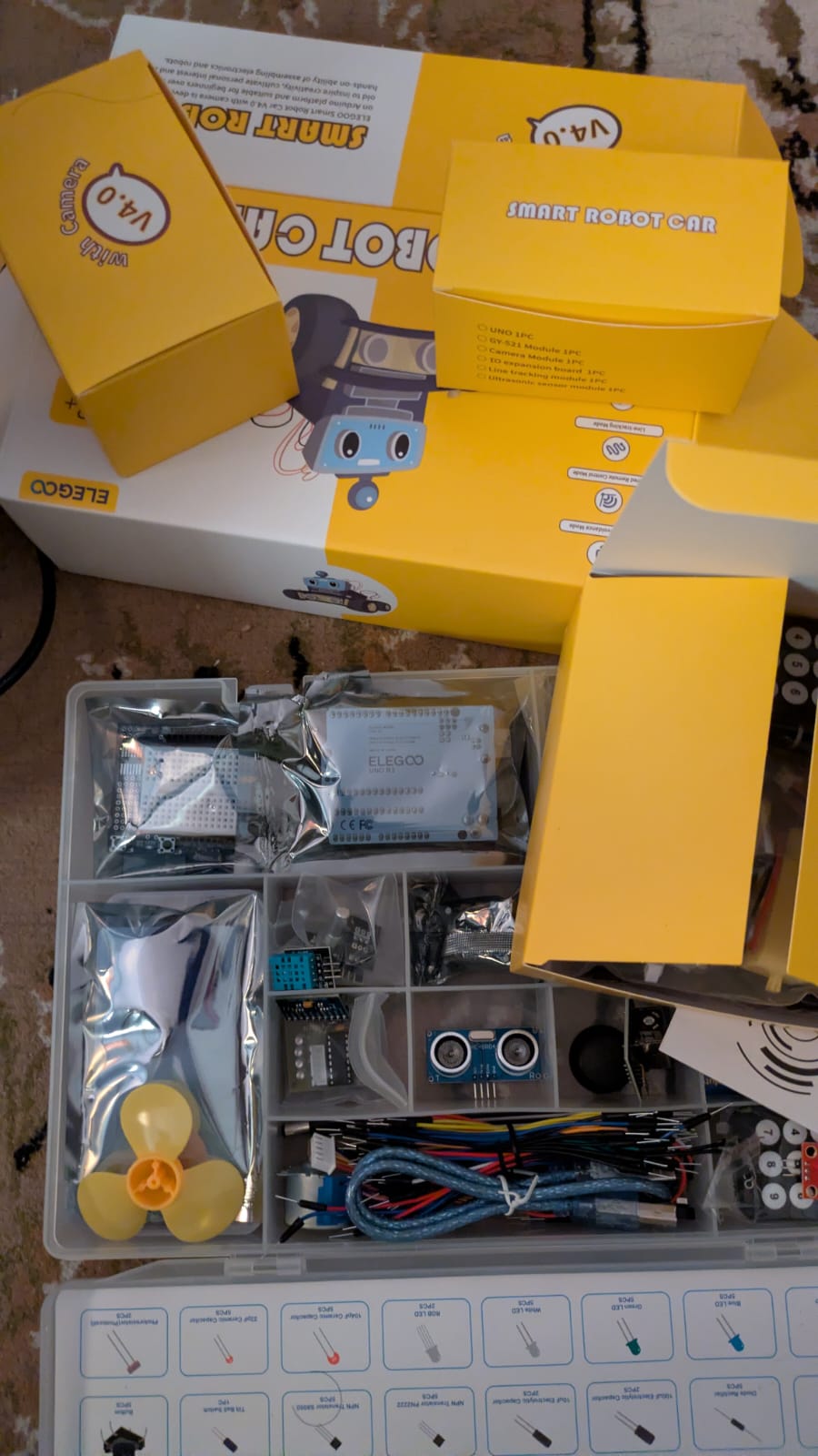
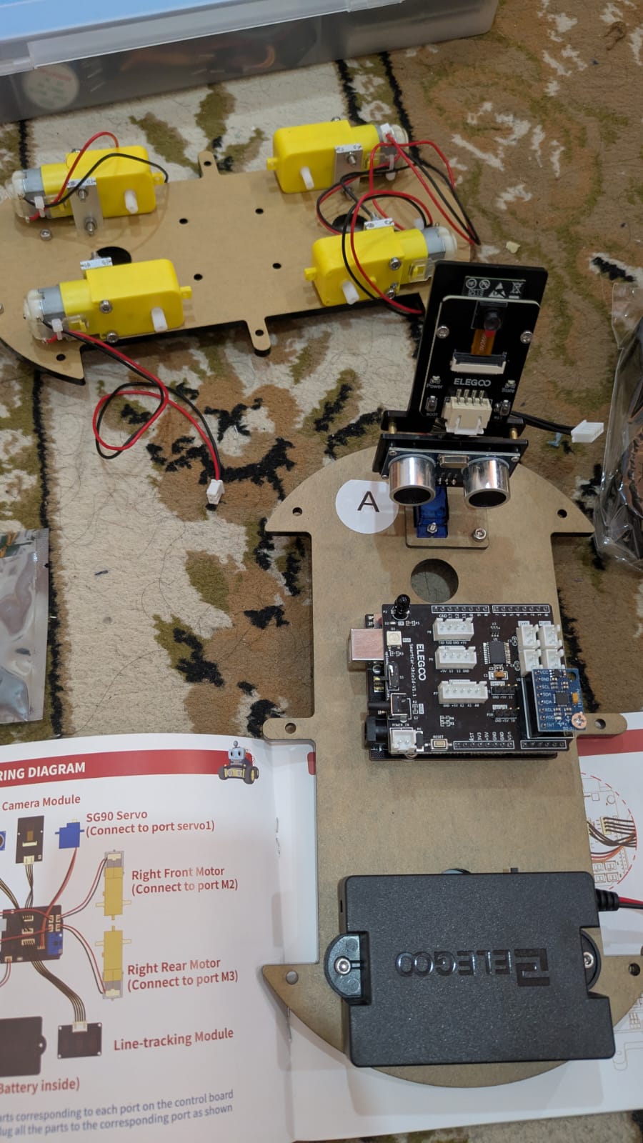
Exploring the ELEGOO Arduino Car. Currently looking to rework the code so I can implement my own computer vision models for things like path planning. Not sure how far I'll go with this, fun so far :)